Register members in a minute
Capture the details exporters need, linked to the cooperative and factory, with consent recorded before anything is saved.
KahawaTrace helps cooperatives, estates and exporters map farms by GPS, check every boundary, and export the geolocation data the EU Deforestation Regulation asks for.
Requirements of Regulation (EU) 2023/1115. Micro and small operators follow from 30 June 2027.
Five steps take a cooperative from paper member lists to a compliance-ready map of every plot.
Name, ID, cooperative and location, with the farmer’s consent recorded first.
One averaged GPS point for small plots, or walk the boundary of larger ones.
Self-crossing boundaries, overlaps, duplicates and size mismatches are flagged instantly.
Supervisors approve, reject or send a plot back for re-mapping, with a comment.
Download GeoJSON in WGS84 at 6 decimal places, ready for the EU Information System.
Built for field agents on Android phones, supervisors at the factory, and compliance teams at the exporter.
Capture the details exporters need, linked to the cooperative and factory, with consent recorded before anything is saved.
Averaged GPS readings, a live accuracy indicator, a corner every 5 m while walking, and tap-to-map on satellite imagery. Area is worked out automatically.
Every plot is checked when it is saved, so mistakes are fixed while the agent is still on the farm.
Supervisors compare each map with the satellite image, then approve it, reject it, or send it back with a note.
Approved plots export with the properties the EU Information System expects.
Everyone sees what their job needs, and nothing more.
Who mapped, edited, reviewed or exported each plot, and when.
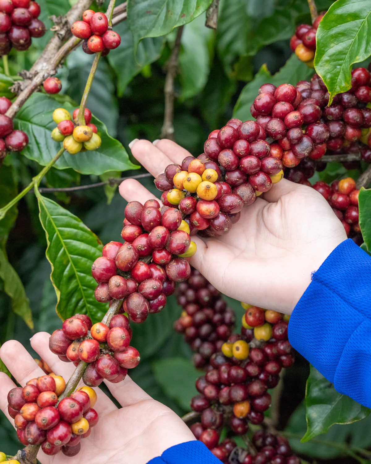 Grown on land not deforested after 2020
Coffee sold into the EU must be traceable to the plot where it was grown. For cooperatives with thousands of members and no maps, collecting accurate, checkable plot data is the hard part. That is the job KahawaTrace was built for.
This is the real KahawaTrace map engine on live satellite imagery. Tap a plot to see its area, corners and GPS accuracy, just as a supervisor does before approving it.
Demonstration only: the plots above are sample shapes drawn on farmland near Othaya, Nyeri. They are not real farm records. Real plot data stays private to each organisation’s account.
KahawaTrace is a Nairobi-built platform for mapping coffee farms and preparing EUDR geolocation data. It is made for the people who do the work: field agents walking plots, supervisors checking maps, and exporters filing Due Diligence Statements.
Sign in to register farmers, map plots and prepare your EUDR data. Your administrator can add your team.